Hydrogeological Survey Services

Hydrogeological Survey Services in Nairobi, Kenya.

Identify groundwater potential before drilling. Waterline Drillers provides professional hydrogeological surveys to help determine suitable borehole locations, geological formations and expected groundwater depth before borehole drilling begins.

Home Services Hydrogeological Survey
Before Borehole Drilling

Understand What Lies Beneath Your Property.

A hydrogeological survey is an important first step when planning a borehole. It helps assess the underground conditions of a property before drilling equipment is brought to site.

Waterline Drillers carries out groundwater assessment to help identify a suitable drilling point, understand the expected geological formations and estimate the likely groundwater depth and potential water availability.

The information gathered gives the borehole project a more informed starting point and helps reduce the risk of making major drilling decisions without first understanding the site.

01

Suitable Drilling Point

Helps identify a technically suitable location for borehole drilling on the property.

02

Expected Groundwater Depth

Provides an estimate of the depth at which groundwater-bearing formations may be encountered.

03

Geological Formations

Helps build an understanding of the rock and underground formations likely to be encountered during drilling.

04

Groundwater Potential

Assesses the site's groundwater potential and provides useful information for planning the next stage of the borehole project.

Request a Site Assessment
Groundwater site assessment before borehole drilling
Survey First Make informed decisions before drilling.
Groundwater Assessment A better borehole project begins with understanding the site.
Our Survey Process

From Site Assessment to a Recommended Drilling Point.

A professional groundwater survey combines site assessment, field investigation and interpretation of geological and geophysical information to help guide the next stage of a borehole project.

01
Understand the Property

Site Review

We begin by understanding the property, proposed borehole location, access conditions and the intended water use. This gives the groundwater assessment practical context before field measurements begin.

02
Investigate the Ground

Field Assessment

Field investigation is carried out to assess underground conditions and identify areas that may indicate suitable groundwater-bearing formations for borehole development.

03
Interpret the Findings

Data Analysis

Information collected during the survey is interpreted to better understand geological formations, groundwater potential and the likely depth at which productive water-bearing zones may be encountered.

04
Plan the Next Step

Borehole Recommendation

Based on the assessment, a suitable drilling point and estimated drilling depth can be recommended to help guide borehole drilling and overall project planning.

05
Document the Assessment

Survey Findings

The survey findings provide technical information that can support the planning of the borehole, including the recommended location, expected formations and estimated groundwater depth.

A survey helps improve the quality of the decision before drilling — it does not guarantee a specific water yield.

Book a Hydrogeological Survey
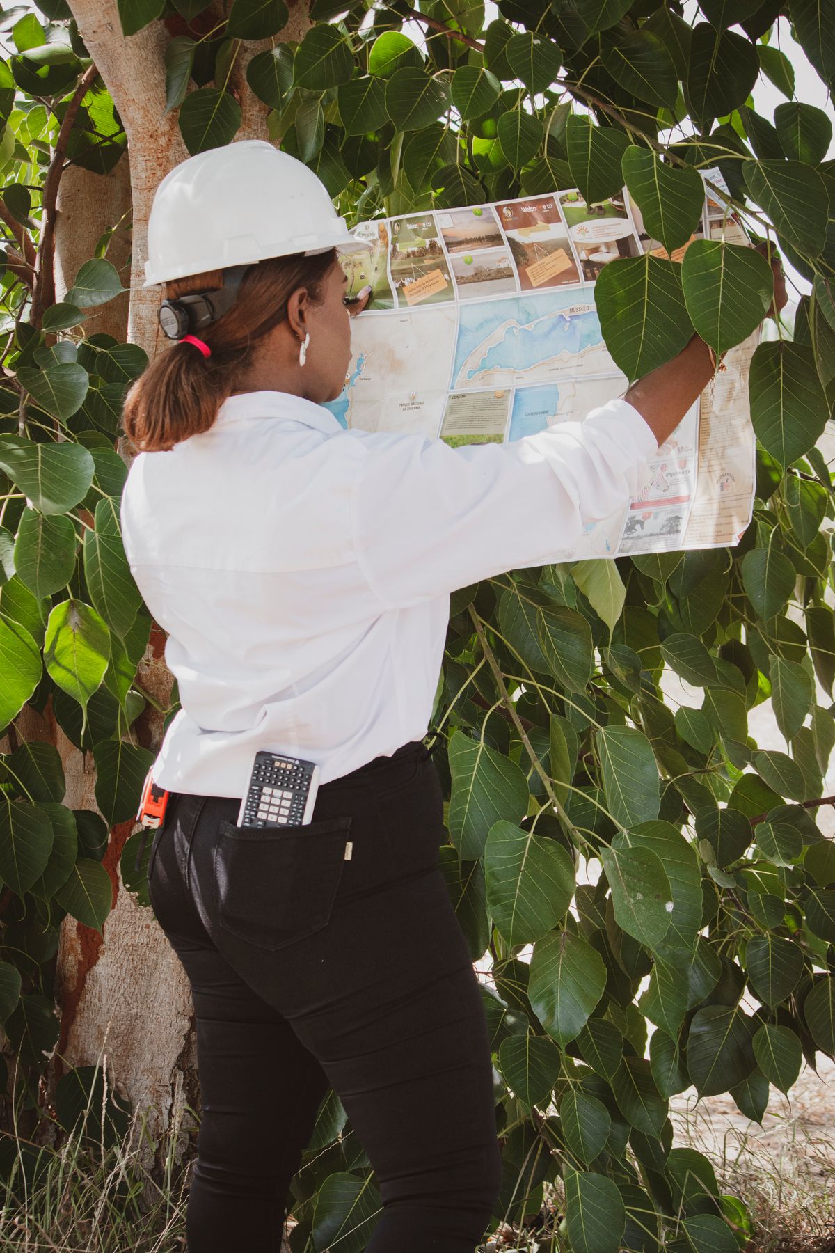
African field engineer reviewing site information before groundwater and borehole assessment
Survey Output Information Before Drilling
From Assessment to Recommendation Know more about the site before committing to drilling.
What You Get From the Survey

Clear Information Before You Commit to Drilling.

A professional hydrogeological survey gives you technical information that can help guide the planning of your borehole. Rather than selecting a drilling location without assessment, the survey provides a more informed basis for deciding where and how the project should proceed.

01

Recommended Borehole Location

Identification of a technically suitable drilling point based on the site assessment and interpreted groundwater conditions.

02

Estimated Drilling Depth

An informed estimate of the depth at which groundwater-bearing formations may be encountered during borehole drilling.

03

Groundwater Potential

An assessment of the property's groundwater potential based on the information gathered and interpreted during the survey.

04

Geological Interpretation

Information about the underground geological formations likely to influence drilling conditions and groundwater occurrence.

05

Better Borehole Planning

Useful technical information to support decisions about drilling, site access, project planning and the next stages of borehole development.

The purpose of the survey is better decision-making before drilling — not a guarantee of a particular water yield.

Request a Survey
Why Survey Before Drilling?

Don’t Choose a Drilling Point Blindly.

Borehole drilling is a major investment. A professional hydrogeological survey before drilling helps you understand the site's groundwater conditions and make more informed decisions before committing drilling equipment and project funds.

Without Prior Assessment

Drilling With Limited Site Information.

01

Uninformed Drilling Location

Selecting a point without groundwater assessment means the decision is made with less information about subsurface conditions.

02

Limited Depth Guidance

There may be little technical basis for estimating the geological formations and groundwater depths likely to be encountered.

03

Harder Project Planning

Without prior site information, planning the drilling stage and likely borehole requirements becomes more uncertain.

With Hydrogeological Assessment

Start the Borehole With Better Information.

01

Better Borehole Siting

The groundwater survey helps identify a technically suitable drilling point based on the conditions assessed on the property.

02

Estimated Drilling Depth

Survey findings can provide an estimate of the depth and geological formations that may be encountered during borehole drilling.

03

More Informed Planning

Understanding groundwater potential before drilling gives the client and drilling team useful information for planning the next stage.

01

Before investing in borehole drilling, first understand the ground beneath the property.

Book Your Survey
Hydrogeological Survey FAQs

Common Questions Before a Groundwater Survey.

Before commissioning a groundwater assessment, property owners often want to understand what the survey does, what information it provides and how it helps with borehole drilling decisions.

A hydrogeological survey is an assessment of groundwater and geological conditions at a property. It helps identify suitable areas for borehole drilling and provides information about groundwater potential, geological formations and expected drilling depth.

A survey provides useful technical information before drilling begins. Rather than selecting a drilling point without prior assessment, it helps evaluate the site's groundwater conditions and identify a more technically informed borehole location.

No. A hydrogeological survey assesses groundwater potential and helps identify a suitable drilling location, but it cannot guarantee a particular water yield. Actual underground conditions are confirmed as the borehole is drilled and later tested.

Survey findings can provide an estimated drilling depth based on the geological and groundwater information interpreted for the site. The final borehole depth depends on the actual formations encountered during drilling.

The recommended drilling point is based on the site's assessed geological and groundwater conditions. Survey information is interpreted to identify a location considered technically suitable for further borehole development.

The time required depends on factors such as the property size, site accessibility, local conditions and the assessment required. Waterline Drillers can advise on the expected process after reviewing the location and project requirements.

The assessment can provide information about groundwater potential, a recommended drilling location, estimated drilling depth and interpreted geological conditions relevant to planning the borehole project.

Yes. Waterline Drillers is based in Nairobi and provides hydrogeological survey and borehole water services for projects in Nairobi and other locations across Kenya, depending on the site and project requirements.

Yes. Waterline Drillers provides the wider borehole development process, including hydrogeological assessment, borehole drilling, test pumping, pump installation, solarization and water storage solutions.

Contact Waterline Drillers with the location of your property and basic information about the proposed borehole project. The team can then discuss the site assessment and the appropriate next steps.

Start With the Right Information

Planning a Borehole? Start With the Groundwater Survey.

Let Waterline Drillers assess your property and help identify a suitable starting point before borehole drilling begins.